Chocolate topography exists on the planet. It is the colour of these high areas that lead to the names. There is one in the Philippines and one in California.
The Chocolate Hills

The Chocolate Hills (Filipino: Tsokolateng Burol) are a geological formation in the Bohol province of the Philippines. There are at least 1,260 hills but there may be as many as 1,776 hills spread over an area of more than 50 square kilometres (20 sq mi). They are covered in green grass that turns brown (like chocolate) during the dry season, hence the name.

The Chocolate Hills form a rolling terrain of haycock hills – mounds of a generally conical and almost symmetrical shape. Estimated to be from 1,268 to about 1,776 individual mounds, these cone-shaped or dome-shaped hills are actually made of grass-covered limestone. The domes vary in sizes from 30 to 50 metres (98 to 164 ft) high with the largest being 120 metres (390 ft) in height.

The Chocolate Hills are conical karst hills similar to those seen in the limestone regions of Slovenia, Croatia, northern Puerto Rico, and Pinar del Río Province, Cuba. These hills consist of Late Pliocene to Early Pleistocene, thin to medium bedded, sandy to rubbly marine limestones. These limestones contain the abundant fossils of shallow marine foraminifera, coral, mollusks, and algae. These conical hills are geomorphological features called cockpit karst, which were created by a combination of the dissolution of limestone by rainfall, surface water, and groundwater, and their subaerial erosion by rivers and streams after they had been uplifted above sea level and fractured by tectonic processes.

The Chocolate Mountains
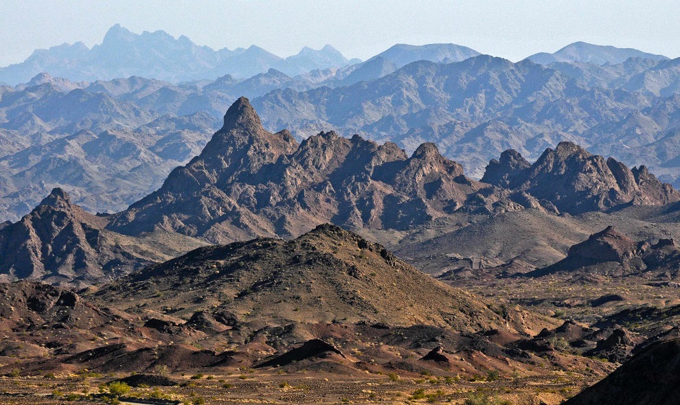
The Chocolate Mountains of California are located in Imperial and Riverside counties in the Colorado Desert of Southern California. The mountains stretch more than 60 miles (100 km) in a northwest to southeast direction, and are located east of the Salton Sea and south and west of the Chuckwalla Mountains and the Colorado River. To the northwest lie the Orocopia Mountains.

The Chocolate Mountains form the northeast boundary of the Salton Trough extending as a narrow range some 80 miles (130 km) southeast from the Orocopia Mountains to the Colorado River valley. The mountains are located about 30 miles (48 km) west of the Chocolate Mountains of Arizona, but the two ranges are not connected. The range reaches an elevation of 2,475 feet (754 m) at Mount Barrow, and serves as a drainage divide for the Salton Watershed to the west.


The mountain range is occupied by the Chocolate Mountain Aerial Gunnery Range, an aerial and gunnery practice area used by the US Navy and Marines. A large part of the Chocolate Mountains lies within the gunnery range, and is closed to the public.

